I feel a little bit out of my depth with these weeks since I have very little background working with maps or gazetteers and the work I do in general isn’t super interested in the idea of place or space in the way maps and gazetteers are. However, our discussion of information systems and how to organize information in discoverable ways is of great interest to me. The unique problems of mapping with the cultural, historical, and geographical concerns that arise are certainly helpful ways for me to see how information systems can be ever-so-complicated.
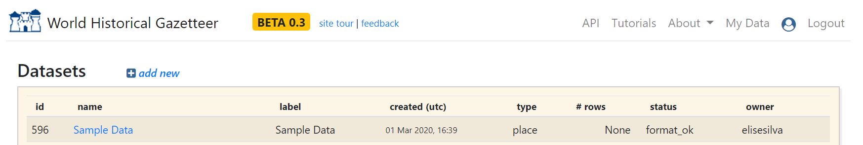
After registering for the WHG, I was able to upload the sample data from the tutorial, but had a hard time playing around with it. I imagine this was my own lack of understanding regarding what kind of files these are. I also played around with inserting specific pieces of data into the tool, but didn’t know enough about labeling them to feel like I was doing it super correctly. Even as someone very new to this, I can see how researchers would be able to use this tool, though, to “locate” their work “placialy.”
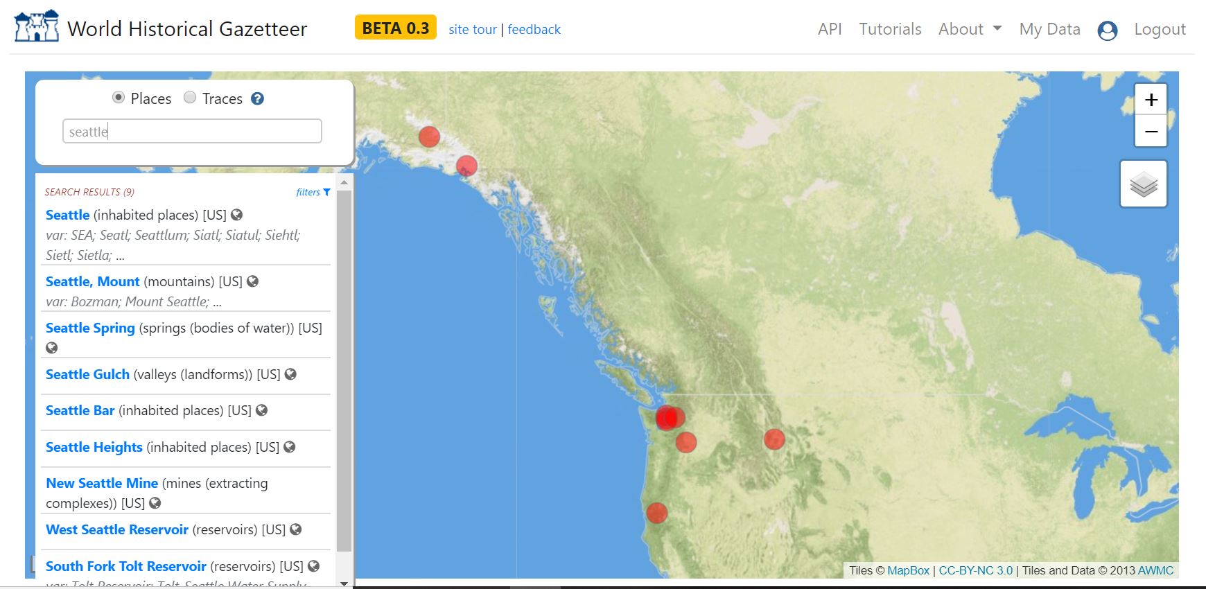
When exploring the tool at large, it did feel like it was pretty eurocentric. I tried to search for Seattle, but wasn’t able to explore a whole lot with what was in the current version. I can imagine folks wanting to do research about the Asian population there around WWII, for instance, and that could be a really cool dataset to include in future iterations. The euro-centricity was discussed in class last time, and I know the data set is expanding, so I wasn’t surprised by my findings. It is really engaging to look at different cities and the links in data that you can find.
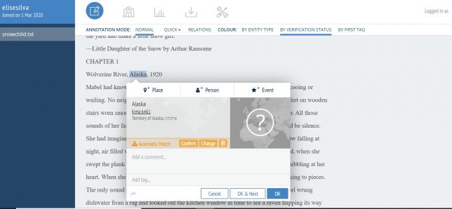
When exploring Recogito I uploaded a text version of one of my favorite novels, Eowyn Ivy’s Snow Child, which takes place primarily in Alaska, but also in the Eastern United STates and has characters from Eastern Europe. I felt a lot more adept at using this tool since I was working with a primary text file and could label people, places, and events. I could see how this would be a really interesting way to “map” texts and visualize them interactively. I have a background in literature and I can imagine research questions this tool would help with.
Also, as someone who has used grounded theory to code texts before, I really liked how streamlined Recogito’s tool was. It was clean and easy to use. It made the coding process less confusing.
Reflecting on my experience with the WHG and Recogito, I’m reminded of a strain from the reading where they talk about Google maps, and other “involuntary” citizen contributions that seem “crowdsourced” but are really just using loads of data to make the applications run. When we are working with these research tools–WHG and Recogito–our contributions are voluntary and for our own benefit as researchers. However, the implication of large scale maps like Google maps which rely on data from users to predict traffic patterns, for instance, is both very convenient, and very scary.
From the reading:
“Services such as Flickr; tweets, blogs, and other forms of citizen-contributed text can be georeferenced, and the tracks of individuals through space and time can be captured and uploaded in numerous ways. These last may be instances of involuntary citizen contributions, since the individual may or may not be aware of the tracking. While many services are careful to allow their users to opt out of being tracked or of having their locations captured in other ways, there are many exceptions. A vehicle equipped with an automated toll payment system, for example, is logged every time it passes through a toll-gate, and such records have apparently been subject to subpoena in litigation, as evidence of an individual’s location in space and time.”
Naming Places Ch 2
How do we conceive of space and place when we are being tracked? How does our spacial awareness change when we cannot “hide” or “get off the grid”? How does that change the landscapes of our lives?