 Hello All,
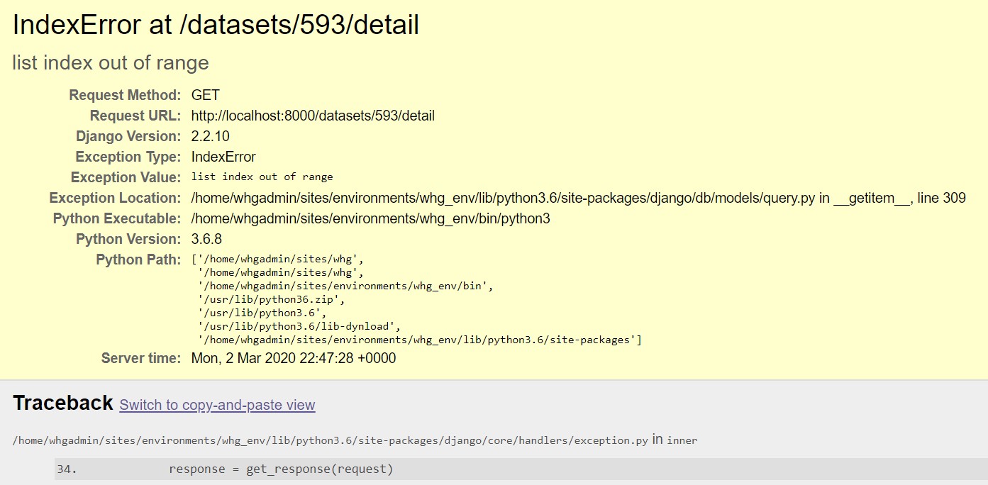
I was unable to figure out the process for uploading data (even the sample data) to the World Historical Gazetteer site. This is due to human error and ignorance on my part, and I look forward to learning more about how to successfully do it. Because of the error messages I received I was unable to browse the contents of the data or practice reconciling them in the system.
I had more success with Recogito.
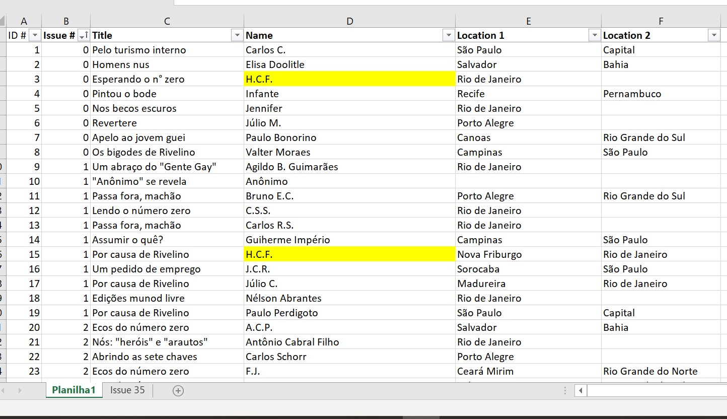
For my research, I am reading scanned pdfs of newspapers written for and by gay people from the 1970/80s in Brazil during the military dictatorship. I am interested in the “letters to the editor” section of the newspaper in which readers wrote into the editors expressing their compliments, contempt, or concerns for the newspaper. Unfortunately, Recogito does not accept pdfs as a file type to upload. I first tried to convert the pdf to a txt file, but the result was a useless mess of letters and special characters. Instead, I created my own dataset in Excel. I recorded the Issue Number, Title (of the letter), the Name provided, and the Location(s) listed.
In all, I recorded over 150 submissions, resulting in more than 46 unique locations. Some letter-writers identified only their city, others provided both city and state, while yet others named their neighborhood as their location. I kept the original location indicators as specified by the writers in the sources because how people define where they are from speaks to their identities. For example, many letter-writers were from Rio de Janeiro (the city), some were from other cities within the state of Rio de Janeiro (Belfort Roxo, RJ, for example), and others identified the neighborhood (Copacabana) within the city of Rio de Janeiro. Certain neighborhoods ascribe socioeconomic, lifestyle, and political affiliations, and it is important to catch such information in the mapping and gazetteer-ing process.
I converted the Excel to a CVS and successfully uploaded it to Recogito. It seems that due to my data being in the form of a table, Recogito will only allow me to select rows in their entirety, and not specific words or the text itself. Although I am able to assign more then one place, person, or event to the row, I am not able to distinguish between the three categories within a single row.
While playing around with both World Historical Gazetteer and Recogito, I came across the same issue – scope. As mentioned above, several Letters to the Editor identify their place as a neighborhood, beach, or university. Neither the WHG nor Recogito were able to capture this information. Considering how human experiences and historical happenstances define a “place,” it is important that mapping programs reflect how people identify their places. In times of oppression, people may choose to identify themselves with specific, confined, and inconspicuous places (theaters, back alleys, or bars). Neighborhoods, I argue, take on important social meanings and facilitate community identity. How have other historians/anthropologists mapped specific neighborhoods and other important yet clandestine places? I will have to contend with this as I move forward with my research.